中国古代版图变迁可视化及地形环境分析
首发时间:2019-08-23
摘要:版图是一个国家的象征,夏商周至今,中国版图发生了多次变迁,也代表着一个时代的兴衰存亡。本文以谭其骧先生编撰的《中国历史地图集》为依据,对其中的地图信息进行数字化,将中国版图变迁以视频、网页、图表等多种形式进行可视化。同时讨论了地形对版图变迁的影响。研究发现,我国境内的秦岭-淮河流域,横断山脉,祁连山,天山,昆仑山,塔里木盆地,河套平原(阴山),燕云十六州(长城),大兴安岭,喜马拉雅山脉等地形突变或地势较为险峻的景观都在历史上某些时期帮助捍卫我国领土完整,抵御外敌入侵,并为国界线的确定提供了依据。未来在国家防卫中,应重点关注这些区域,同时也为大众了解版图变迁提供了一种新的思路,使历史知识生动化。
For information in English, please click here
Visualization of Chinese ancient territory changes and analysis of terrain environment
Abstract:The territory is a symbol of the country. Since the Xia, Shang and Zhou Dynasties, the Chinese territory has undergone many changes, and it also represents the rise and fall of an era. Based on the "Chinese Historical Atlas" compiled by Mr. Tan Qichen, this paper digitizes the map information and visualizes the Chinese territory changes in various forms such as video, webpage and chart. The influence of terrain on layout changes is also discussed. The study found that the Qinling-Huaihe River Basin in China, the Hengduan Mountains, the Qilian Mountains, the Tianshan Mountains, the Kunlun Mountains, the Tarim Basin, the Hetao Plain (Yinshan), the Yanyun Sixteenth (Great Wall), the Daxinganling Mountains, the Himalayas and other terrains are steep or steep. The landscape has helped defend our territorial integrity in certain periods of history, resisting the invasion of foreign enemies and providing a basis for the determination of national boundaries. In the future, in the national defense, we should focus on these areas, and also provide a new way for the public to understand the changes in the layout, and make the historical knowledge vivid.
Keywords: Geographic information science terrain visualization territory change
基金:
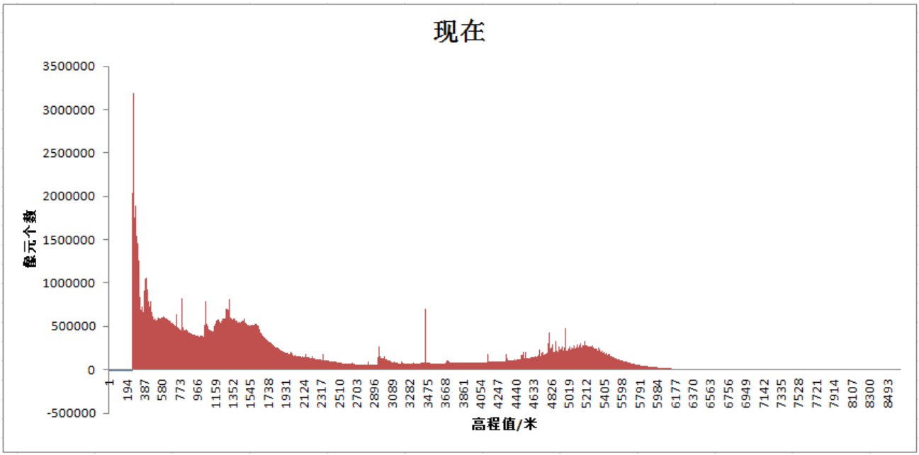
论文图表:

引用


No.****
动态公开评议
共计0人参与
勘误表
中国古代版图变迁可视化及地形环境分析
中国科技论文在线 版权所有
网站地图|
在线首页|
在线简介|
服务条款|
联系我们

京公网安备 11040202430024号 京ICP备15006316号-2| 网络出版服务许可证 (总)网出证(京)字第083号 | 文保网安备案号:1101080066


 .txt
.txt .ris
.ris .doc
.doc
评论
全部评论